Beside the Gate of the Holy City of Makkah
The project lies in the Makkah Gate district at the western entrance of Makkah.
Situated at a strategic point in terms of transport and accessibility, the project raises quality of life by providing fast access to the region's key connections.
Distances are taken from the project brochures and may vary with traffic conditions.
The project lies in the Makkah Gate district at the western entrance of Makkah.
Five minutes from the Haramain High-Speed Rail line.
The project is positioned on the highway connection.
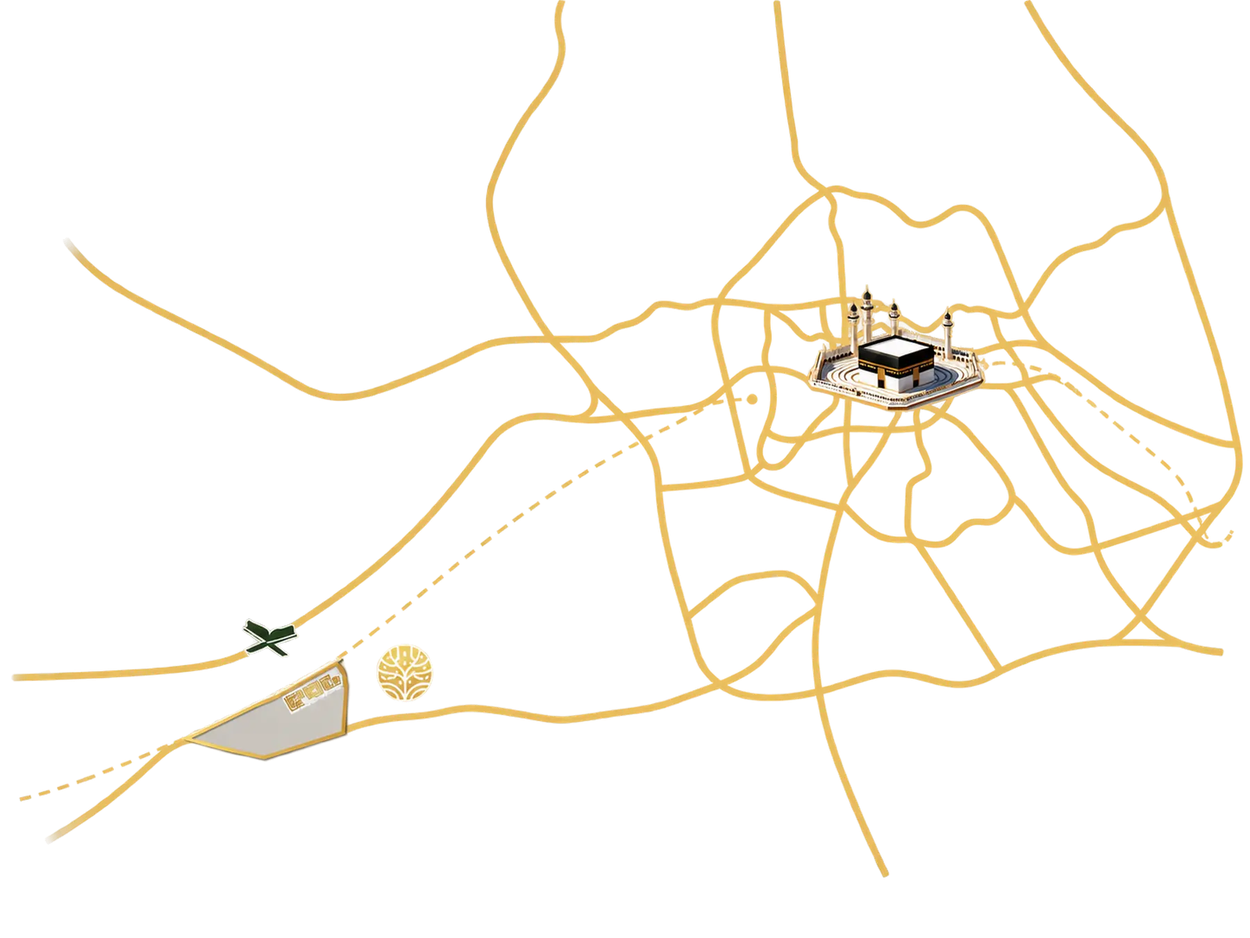
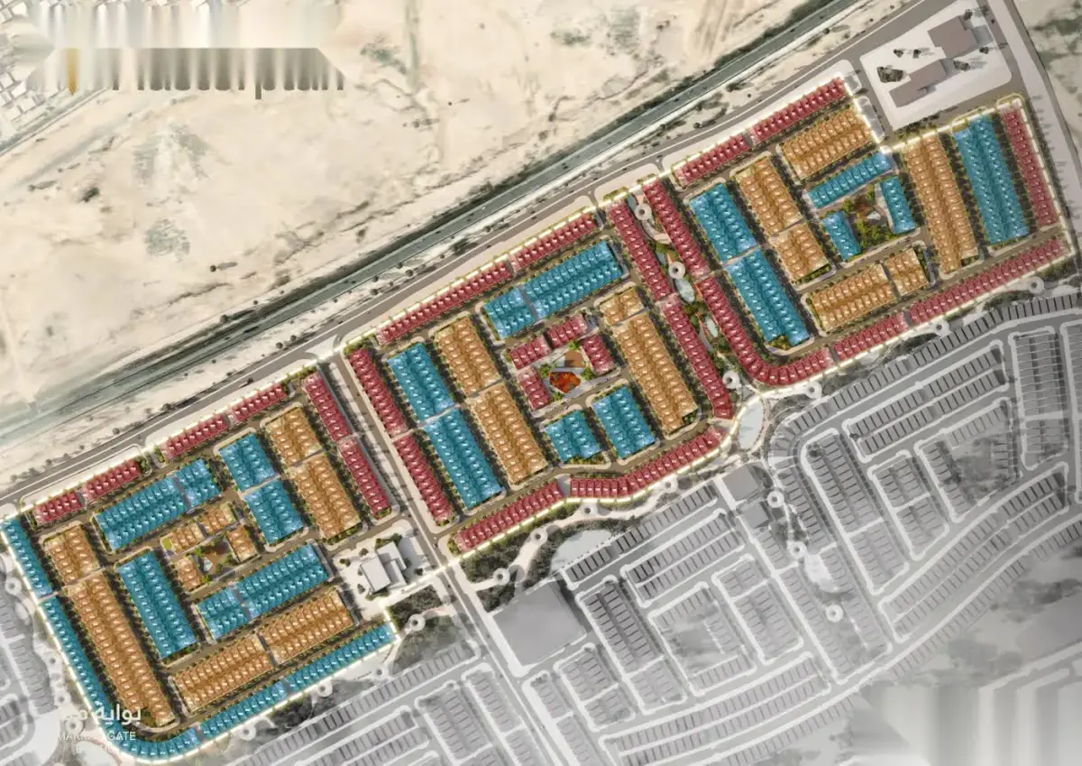
On the location map in the project brochures, the principal axes surrounding Hayat Makkah are: the Makkah–Jeddah Highway, Al-Lith Street, the Haramain High-Speed Rail line and the 3rd Ring Road.
The map also situates Masjid al-Haram, the Main Railway Station, Umm Al-Qura University and the Shawqiyyah district.
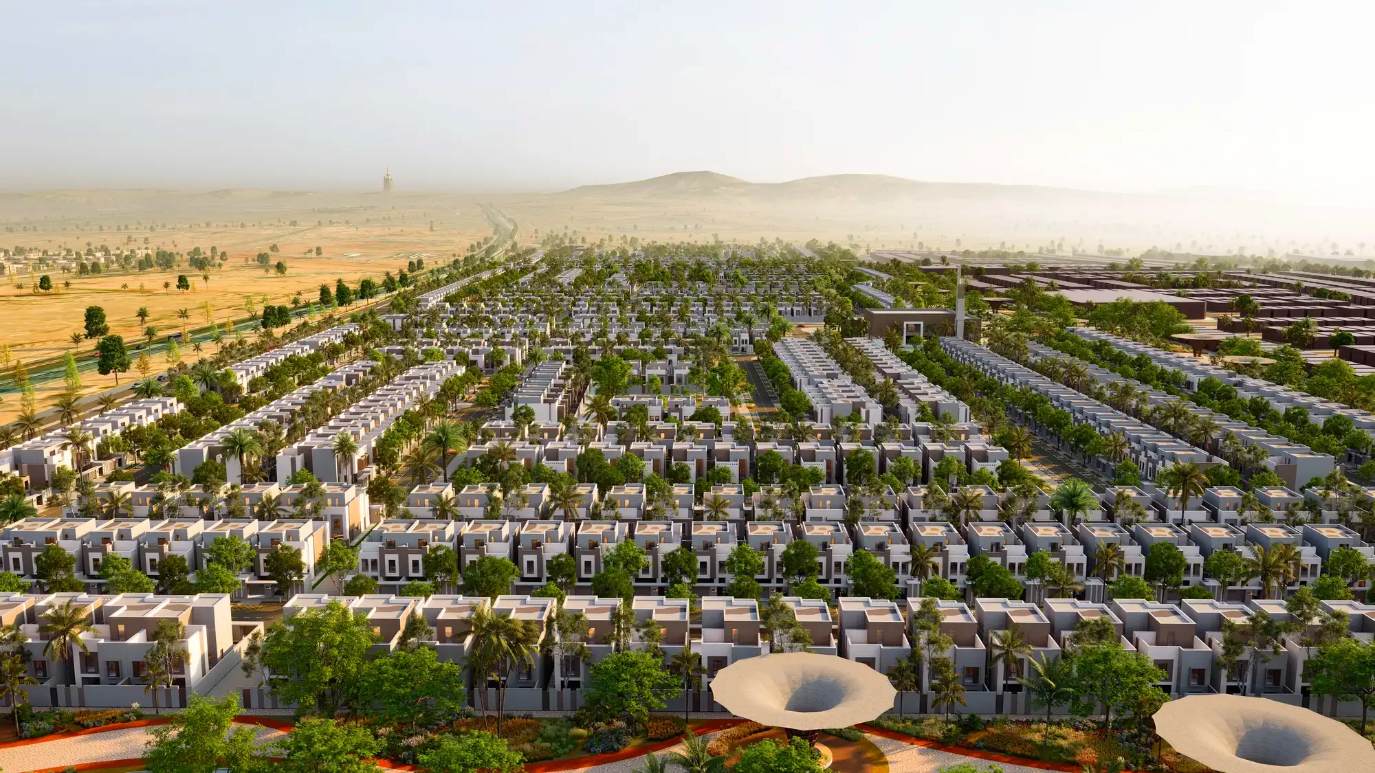
Mekke'nin batı kapısında, Cidde–Mekke ekseninde kurulan büyük yerleşke. Hayat Makkah bu yerleşkenin içinde yer alıyor.
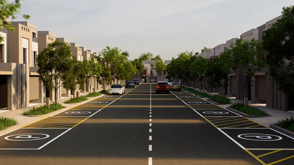
Proje ana arter üzerinde; Mescid-i Haram'a ve Harameyn Hızlı Tren İstasyonu'na yakın konumda.
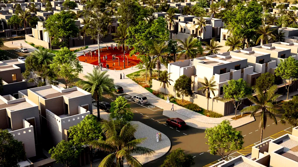
Yerleşke içinde cami, mescit, okul, sağlık merkezi ve ticari alanlar master planda yer alıyor. Aşağıdaki sayılar Makkah Gate'in tamamına aittir.
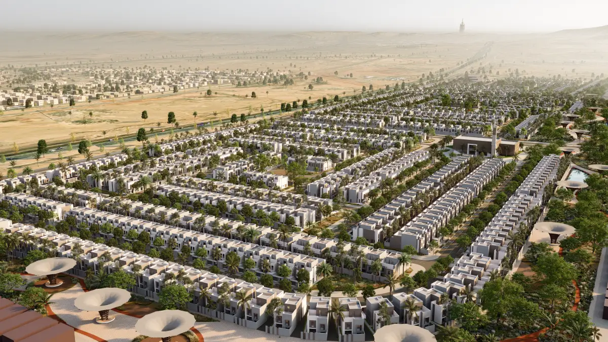
1.014 villa, üç tip ve avlulu yaşam düzeniyle yerleşkeye dağılıyor. Mahremiyet planlamanın çıkış noktası.
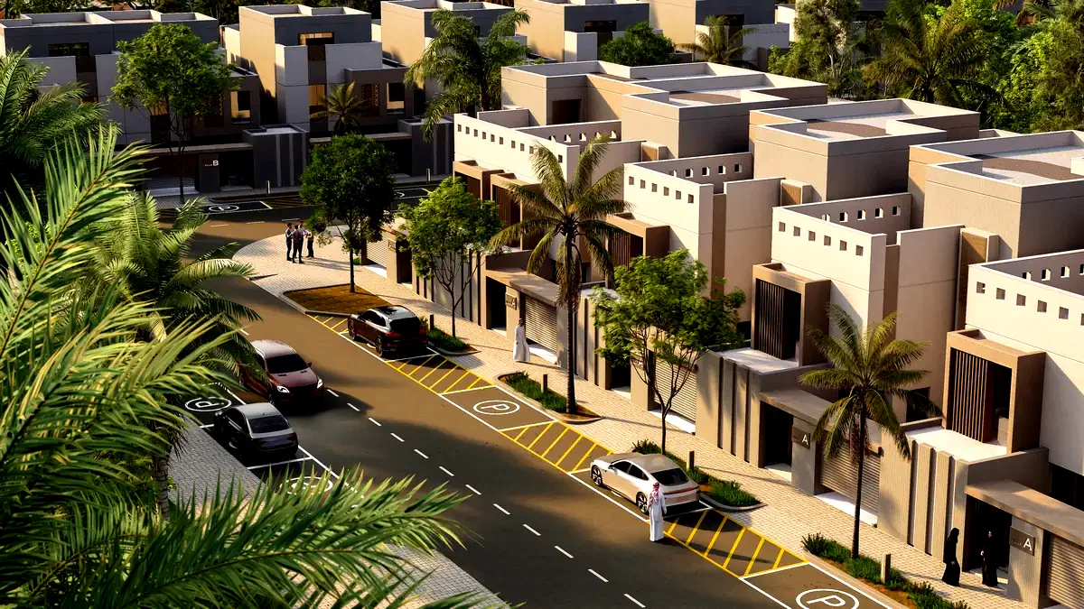
Avlu, günün her saatinde evin merkezi. Girişte misafir ve aile akışı ayrılır; servis alanları arkada toplanır.
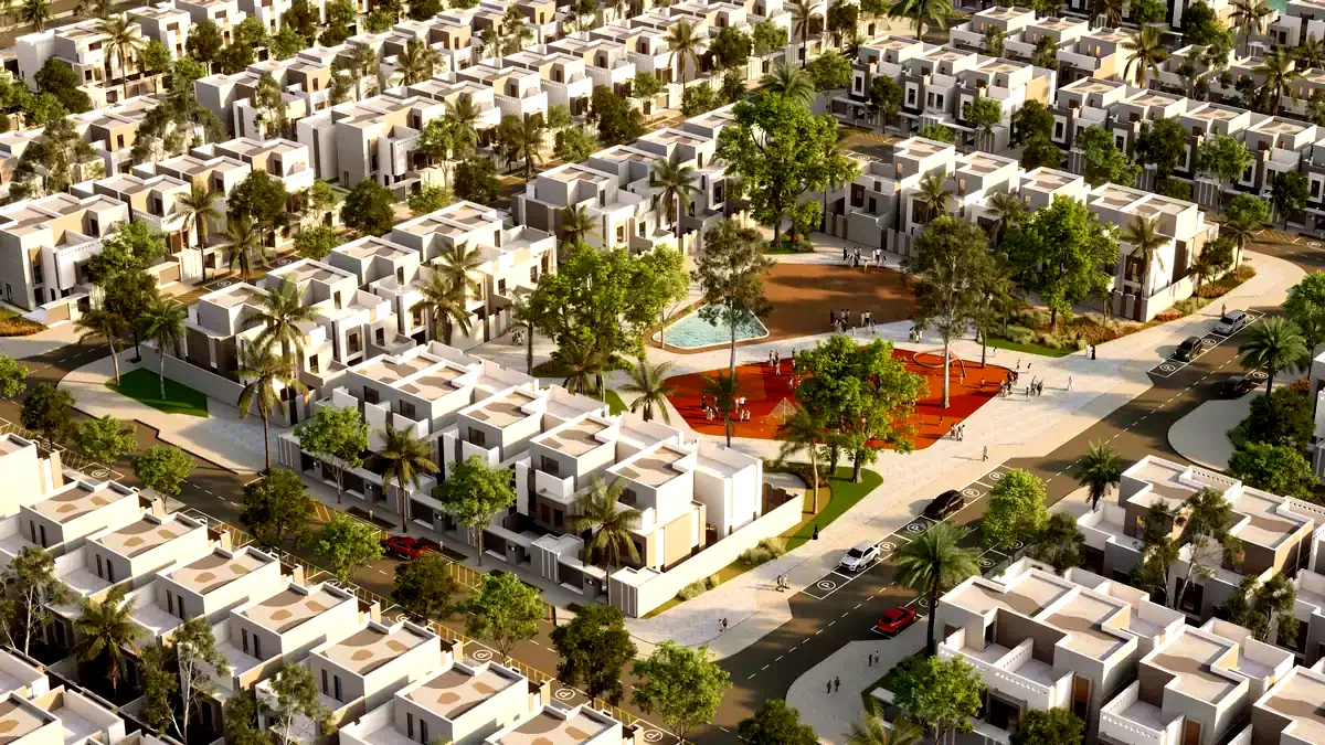
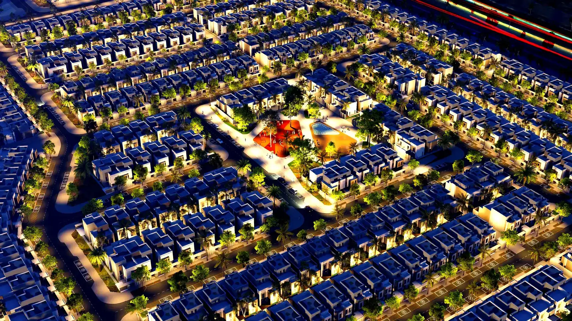
Cami, okul, sağlık merkezi ve ticari alanlar yerleşkenin master planında yer alıyor; komşuluk meydan çevresinde kuruluyor.
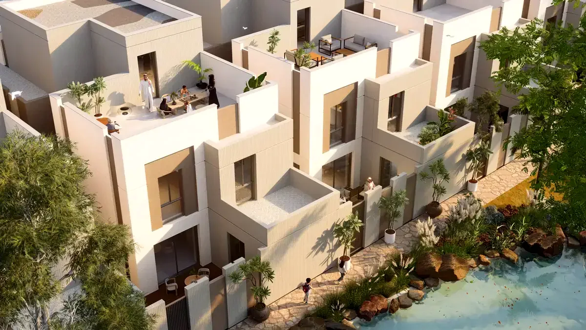
Gölgeli yürüyüş yolları ve açık alanlar yerleşkenin dokusunu kuruyor. Aşağıdaki sayılar Makkah Gate'in tamamına aittir.
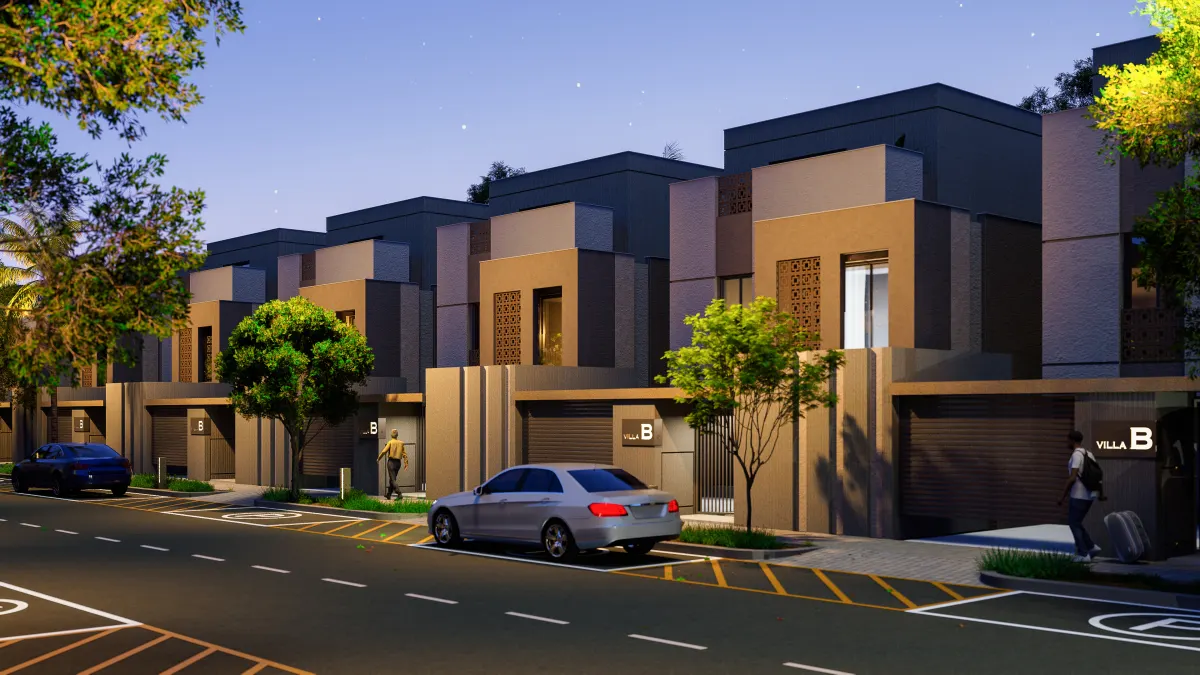
Mahremiyet, villa planının çıkış noktası; yerleşke ölçeğinde ise güvenlik merkezleriyle destekleniyor.
Harem sınırları içinde, her ziyarette hazır bir ev. Otel yerine kendi eviniz; ailenizle mahremiyet ve uzun vadeli mülk.
Proje, iki ülke bakanlıkları arasındaki Mutabakat Zaptı çerçevesinde, Emlak Konut GYO ile Suudi devlet konut şirketi NHC ortaklığında yürüyor.
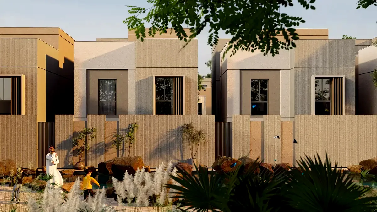
Ödeme planının çerçevesi bugünden belli: faiz işletilmiyor ve ödemeler devlet denetimindeki emanet hesabına yapılıyor. Rakamlar lansmanda açıklanacak.
Etap planı ve teslim takvimi lansman ve satış ofisi duyurusuna bağlı. Sözleşme öncesinde kesin tarih paylaşılmıyor.
Çerez tercihiniz. Zorunlu çerezler her zaman kullanılır; analitik ve pazarlama yalnızca izninizle yüklenir. Çerez politikası
Oturum güvenliği, form gönderiminde sahtecilik koruması, dil tercihiniz ve bu çerez kararının kendisi. Bunlar olmadan form gönderilemez.
How can I help you?
This AI-powered chat assistant was built by Türk Bilişim's software engineers. Read More
This AI-powered chat assistant was built by Türk Bilişim's software engineers.
This AI assistant is currently in a learning phase and is constantly improving itself.
Its answers may not always be accurate or may contain incomplete information.
For the most accurate and up-to-date information, please contact our company representatives directly.
Thank you for your understanding.